>>2736928>Do you use a gps when walking / hiking?Sometimes. Mostly for timing myself on shorter rucks, and as a last resort on long hikes in new areas. Nowadays, it's the GPS on my phone though.
>Would you recommend a gps to someone who doesn't have one or do you prefer other navigation methods like traditional mapsI prefer pure map navigation. Following along ridge lines and trails, picking stop lines and so on. For my area, I don't actually use a physical map on hikes, I just memorize the general lay of the land in advance.
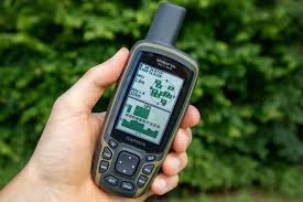
However, I'd recommend bringing a GPS, or preferably a GPS-enabled phone in the beginning and whenever there's an increased risk of accidents (When it's below freezing, in storms or after prolonged rain). If things go to shit and you end up injured, in my experience, most people first think that they can just take a shortcut to get to help, and by the time they realize it doesn't work out, they're lost. For an extreme example, there was an obese american tourist here a few years ago whose buddy ended up with a broken leg - she brought her to their car, car wouldn't start, so she was like "it's 4 km to the next village, I'll just hike there and get help"... and ended not following the road, but trying to walk in a direct line, ending up lost for two weeks. Would probably have died if not for other hikers discovering the car and her injured friend after two days, and a large scale search effort.
Also, since some of the larpers here will bring up map-and-compass navigation: that simply doesn't work for hiking. If you're in the woods or in the mountains near the cloud line, you generally do not have any landmarks in sight. To use a compass effectively, you need to constantly track the distance you've walked (which is near impossible, as step sizes and walking speeds vary massively depending on load and exhaustion) and always be aware of your bearing (which is also nearly impossible).