[86 / 12 / 1]
Not polished yet: https://close.city/
https://vxtwitter.com/NatMakesMaps/status/1776259750310912335
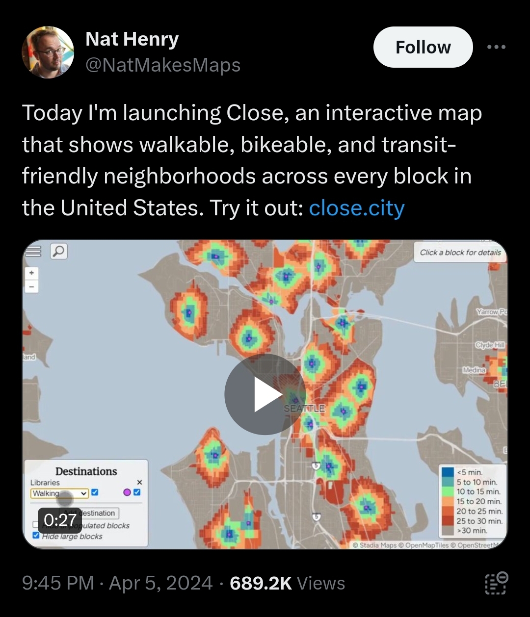
It's an interactive map to show the best places for transportation and walkability.
The default is Grocery + Library which makes the map really really narrowly defined and there's no real way to weight the options, so I recommend disabling Library and/or using just one at a time. But it does an incredible job of highlighting walkability and would make a great tool for deciding where to develop or move
https://vxtwitter.com/NatMakesMaps/status/1776259750310912335
It's an interactive map to show the best places for transportation and walkability.
The default is Grocery + Library which makes the map really really narrowly defined and there's no real way to weight the options, so I recommend disabling Library and/or using just one at a time. But it does an incredible job of highlighting walkability and would make a great tool for deciding where to develop or move
